Posts Tagged ‘charts for cruising to boston’
The Closing Chapter – Essential Cruising Gear
June 25, 2015In closing, I’d like to share the books, charts, and electronics used on this trip. Everything you are about to see is taught in my Trawler School.
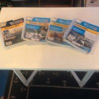
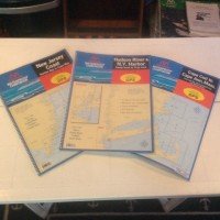
I used MapTech Chartkits, there were 7 to get to Boston. You are looking at about $500 for all of them. They are a must, even if you have GPS and chart plotters on board. I planned my trips the night before, one day at a time.
4 Intracoastal Waterway Guides– $120.00. They are great on finding everything about the ports along the way: history, location & navigating, restaurants, great reference guide.
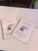
Skipper Bob’s
I have been using his books in my school for the last 10 years. He died about 5 years ago and Intracoastal Waterway guides took over. The anchorage book lets you know where all the anchorages are and has a fantastic rating system, the best I have seen, and has all the mile markers in it. I anchored all the way up. Even if you’re not staying at the marinas, buy his Marina book it is very useful finding where a state begins and ends, very very helpful.
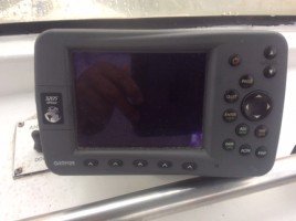
A chart plotter, GPS tells you where you are and where you’re going. Nicknamed (Captain Know-It-All) he is the only one on board who has all the answers.
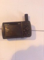
A small GPS chart plotter (Captain Know-It-All Jr.) the is a backup for Captain Know-it-All Sr.
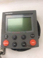
Please let’s not forget about (Captain Auto) yes Captain Autopilot, don’t leave the dock without this little baby. Relax leaving the driving to him.
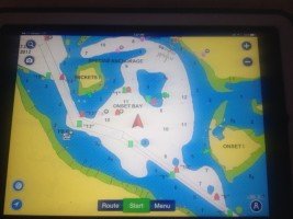
Here is the screen. It is a chart plotter, GPS, and it shows you on the screen everything and every place you have been or are about to go. They have a new screen that has sonar charts and it has updated depths. You need a computer or an iPad with internal satellite. It is an app that costs $50.00, and it covers US & Canada, everywhere including lakes. Check it out on YouTube.
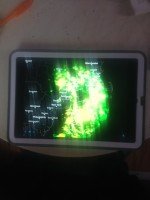
Radarscoop is an app, 99 cents and it shows you the oncoming weather, (rain) very handy.
Fuel just about $2,000. For 1,700 miles average price per gallon $2.75. 740 gallons about 2.70 mpg including running the generator. Oil $300.00, with one oil change in Hilton Head.
Last but not least:
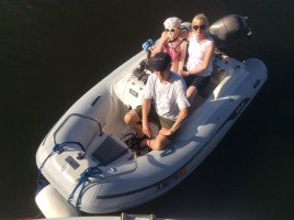
A dinghy. If you are anchoring it is a must, if your taking your time you want it to venture out and explore. The better the dinghy the more fun you’ll have. This is an AB dingy with a 30 Hp. Finding one used is hard, it took me 4 months on Craigslist for $3,500 Used, 2005. New? Hope you’re sitting down, $20,000, plus another $5,000 to $10,000 for an electric lift. I dragged mine up all the way and used it all the time.
All righty folks this is the Captain Over & Out

